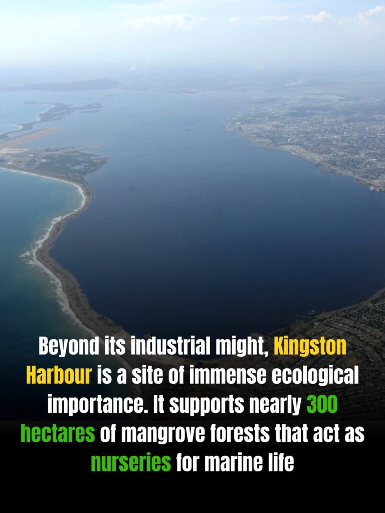
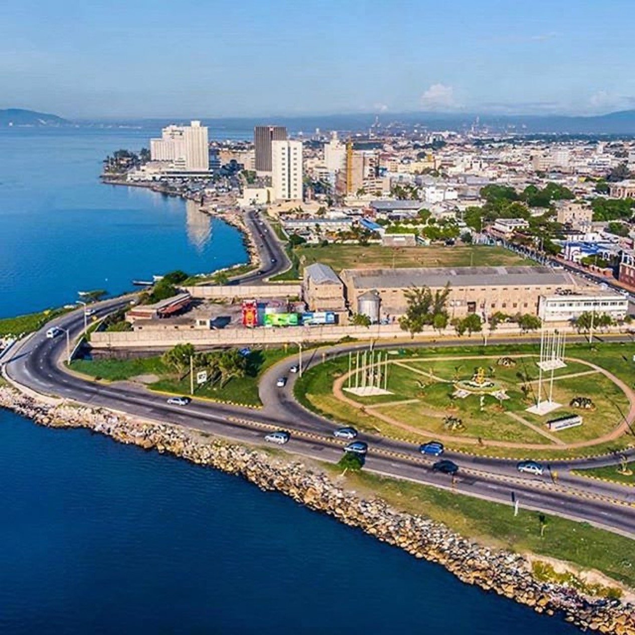
Jamaica’s bustling capital is home to Kingston Harbour, a geographic marvel that ranks as the seventh-largest natural harbor in the world. Spanning an extensive area that serves as a global logistical gateway, this massive, semi-enclosed sanctuary is also the absolute largest and deepest natural harbor across the entire Caribbean region.
Anatomy of a Natural Giant: Dimensions and Defense
The sheer scale of Kingston Harbour makes it a standout entry in global geography. The basin stretches approximately 16 kilometers (9.9 miles) in length and spans roughly 3.2 kilometers (2.0 miles) in width.
What elevates its status among international ports is its unusual depth profile. Much of the harbor remains naturally deep even immediately adjacent to the shoreline. Ships navigating into the main terminals utilize a channel depth reaching up to 17.1 meters (56 feet), allowing massive modern cargo vessels to glide in safely.
This calm environment is made possible by a singular geological formation: the Palisadoes. This 15-kilometer natural sand spit or tombolo curves like a protective arm around the southern and eastern borders of the harbor. By effectively acting as a massive, natural barrier, it absorbs the intense, crushing wave energy from the open Caribbean Sea, ensuring quiet waters inside the basin.
A Crucial Intersection in Global Supply Chains
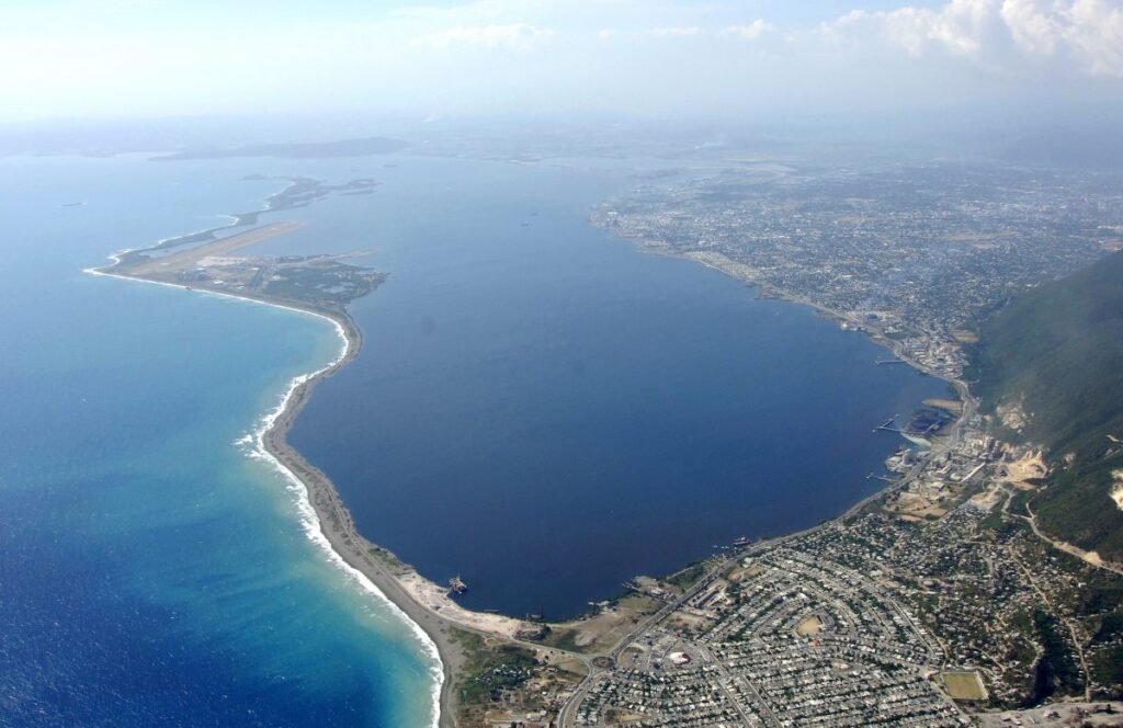
Because Jamaica sits strategically positioned just 32 nautical miles off the primary shipping lanes of the Panama Canal, Kingston Harbour serves as an essential hub for international maritime commerce. It sits at a crossroads linking major trade pathways between Asia, Europe, and the Americas.
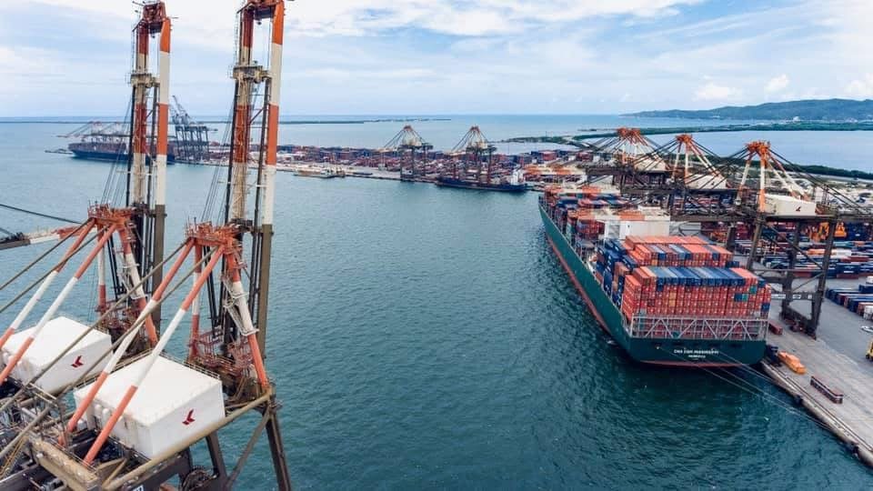
The crown jewel of this waterfront is the Kingston Container Terminal, established in 1975 to capitalize on the rise of standardized container shipping. Acting as a premier trans-shipment hub for Latin America and the Caribbean, the port processes vast volumes of global freight. From industrial fuel supplies to daily food imports, the harbor serves as the primary economic lifeline keeping Jamaica connected to the global economy.
Tracing History from Submerged Cities to Modern Capital
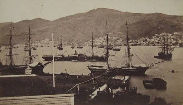
The entry point of the harbor is steeped in maritime lore. At the western tip of the Palisadoes spit sits the historic town of Port Royal. During the 17th century, Port Royal was infamous as a primary base for privateers, buccaneers, and pirates, earning a reputation as one of the wealthiest yet most chaotic ports in the New World.
A devastating earthquake violently struck the region in 1692, causing a massive section of Port Royal to instantly slide beneath the waves of the harbor. Following this catastrophe, survivors established a new settlement further inland along the northern shores of the protected basin. This settlement grew rapidly to become the city of Kingston, cementing the harbor’s dual identity as a resting place for underwater history and a beacon for modern commercial trade.
Frequently Asked Questions (FAQ)
Q: Where exactly is Kingston Harbour located?
A: The harbor rests on the southern coast of Jamaica. It is bordered to the north by the city of Kingston, to the west by Portmore and Hunts Bay, and to the south and east by the Palisadoes land strip.
Q: How does Kingston Harbour rank against other natural harbors?
A: It is globally recognized as the seventh-largest natural harbor by surface area and water volume, and holds the title of the largest and finest natural harbor in the Caribbean.
Q: Can aircraft carriers and large naval ships dock inside the harbor?
A: Yes. Because the harbor retains great depth near the shore and maintains a deep 17.1-meter shipping channel, it easily hosts massive commercial container ships, cruise liners, and naval vessels.